Award-winning thesis project and illustrations on settlement surrounding the Great Lakes.
The Great Lakes
CATALYSTS OF INDUSTRIAL REVOLUTION
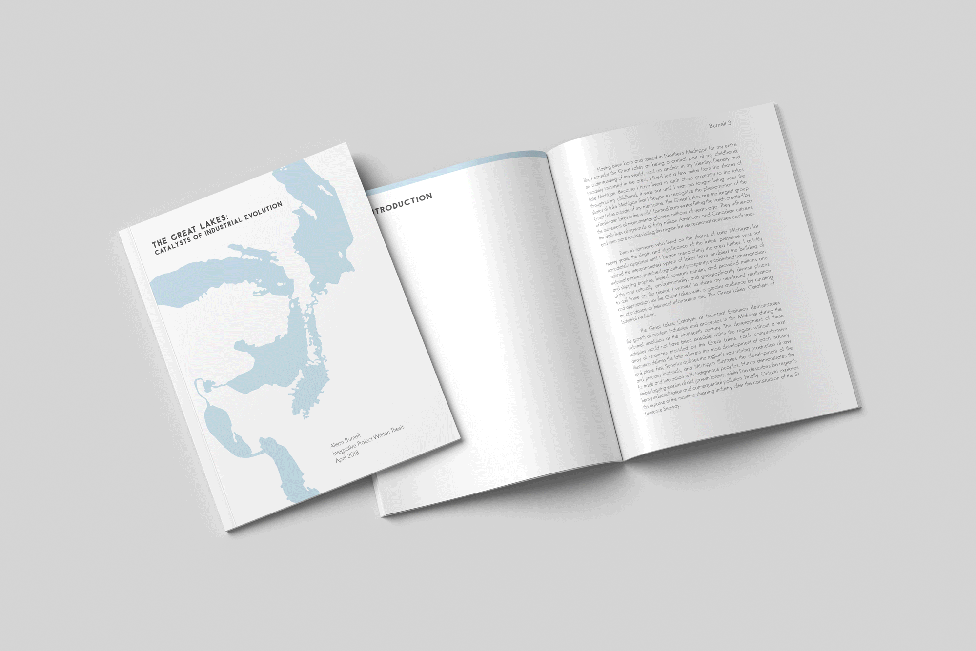
The Great Lakes: Catalysts of Industrial Evolution demonstrates the growth of modern industries and processes in the Midwest during the industrial revolution of the nineteenth century – the development of which would not have been possible within the region without a vast array of resources provided by the Great Lakes.
Each panel is composed of digital illustrations drawn from the likeness of historic photographs pertaining to the industries which fueled the development of the regions surrounding the Great Lakes. First, Superior outlines the region’s vast mining production of raw and precious materials, and Michigan illustrates the development of the fur trade and interaction with indigenous peoples. Huron demonstrates the timber logging empire of old growth forests, while Erie describes the region’s heavy industrialization and consequential pollution. Finally, Ontario explores the expanse of the maritime shipping industry after the construction of the St. Lawrence Seaway.
For a brief summation of each industry's development and its relationship to the Great Lakes, as well as descriptions of each photograph used in these illustrations, please click any of the individual panels below.
2017-2018 Innovation in Research and Creativity Award Winner
University of Michigan Libraries
Recognized by the University of Michigan for outstanding incorporation of library research and lab use with creative methods, my honors project and accompanying 25-page thesis was completed in just three short months.
Lake Erie
Lake Ontario


Lake Superior
Lake Michigan
Lake Huron
Lake Erie
Lake Ontario
Close-up of detail, exhibition planning, layout ideation, content planning, finalization, completed illustrations


1 - Close-up of detail
After changing directions and restarting my thesis project at the beginning of second semester, I was left with about a month to begin and finish these illustrations by drawing thousands of tiny vector layers using a drawing tablet in Adobe Illustrator.
2 - Exhibition planning
I felt it important that the work’s final form relay the magnitude and complexity of the history surrounding the Great Lakes region, and this was my one opportunity to create a large-scale gallery exhibit! Each of these panels stand at over five feet tall and two feet wide when printed.
3-5 - Layout ideation, content planning, finalization
My initial thought for the project was to collage native flora and fauna, specific rocks associated with each lake, indigenous peoples, notable places, historic events, iconic figures and structures, and shipwrecks to attempt encapsulating the rich history of the Great Lakes region. Quickly, I realized there would be too much information to sift through as both a viewer and researcher. I felt each panel should be its own narrative, as my original idea stemmed from creating five pieces respective to each of the five Great Lakes. How would I create a cohesive piece when there are no perfect parallels in history? After several weeks of researching and sorting through historic photographs, I had restructured these illustrations' layouts multiple times before beginning to draw them.
6 - Completed illustrations
After a month of illustrating at all hours, the project was almost ready for our senior exhibition, but felt like it was missing something. To tie all pieces together, my final addition was a subtle overlay of the Great Lakes - a nearly imperceptible visualization of the force that fueled the establishment each of these industries.
A summation of my research, an introduction to the artists I drew inspiration from, methodologies as I completed the project, and reflections on the process can be found in my written thesis, linked below.